May 3-4
We overnighted in Pocatello before making our last drive to Yellowstone. At the KOA RV park there, the owner told us about the several inches of snow that fell last night. It all melted by the time we got there in the afternoon. It snowed again last night, but only a couple of inches. It’s going to be cold during most of our stay in the park. There are also a couple of storms slated to arrive in the next week, so I expect it to be an interesting stay.

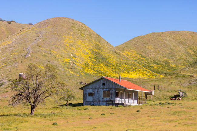
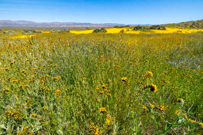
We arrived at the Madison campground on Friday and managed to get the rig into our tight space. The limit was supposedly 20’. Ours is 26’, but almost always we can fit into smaller spaces. So we were set for the next five days. There are no hook-ups in camp, so our cold weather dry camping skills will come into play.

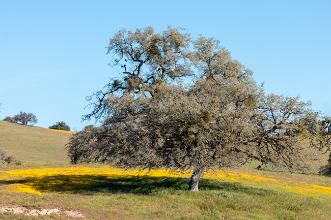
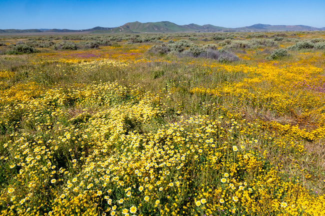
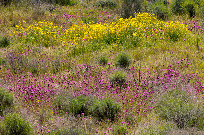
After setting up, we took a little walk around the area. Madison is one of the nicest areas to camp. The Madison River runs along side, and a lovely meadow is adjacent. We found a trail down along the river and took a stroll.


We walked along the placid river for a time, enjoying the reflections. Looking ahead on the trail, I noticed something coming over a rise in the distance. It was a massive Bison. We decided to reverse course post-haste and watched from a distance as he paid us little mind.

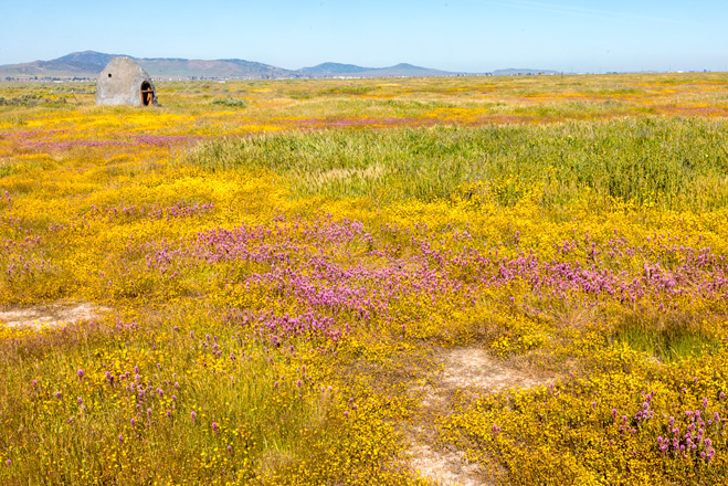
Grand Prismatic Spring Walk
Friday, May 4
Today I wanted to go to Midway Geyser Basin, about 15 miles south of Madison. I’ve wanted to photograph the Grand Prismatic Spring – one of the largest, and most well known in the park. From the ground, one cannot see into the pool, but from up high the many hues of blues are contrasted by the brilliant oranges and yellows of the radiating trails of alge. There is an overlook trail nearby that gives about 100’ of elevation to get a better view of the overall spring.

Within about 10 minutes of driving, we were caught in a minor Bison jam. This is where Bison on the road block traffic. As we inched closer, I could see a group of female Bison with their calfs. A couple of rangers were there directing traffic as well. As we waited our turn to get by, I looked around the area, and couldn’t believe my eyes when a large wolf appeared on the hillside above us. It was there for just a moment and was gone. Nice start to our day.

We got to the overlook trailhead and the first disappointment was encountered. The viewpoint portion of the trail was closed! We’ve since discovered most trails are closed – too much snow! Also, several main routes and most secondary and gravel roads are also closed. This severely limits what we can do. While there aren’t that many people in the park, it seems busy because there are so few areas open. More main roads will open in the coming days, we are just very early in the season.

We were able to still walk a portion of the trail not under snow. It allowed us to get a different view of the spring. The overlook trail will have to wait for another trip.

The spring is always covered in steam, but especially so when it is cold. I could see the rainbow colors of the pool reflected in the steam clouds above it. Boardwalks allow visitors to walk around the perimeter and made for some fun images from our vantage point.


I made several pictures I liked as we walked along the trail. Eventually it became impassible, so we turned around.
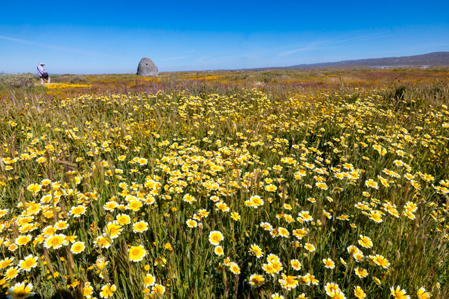
Norris Geyser Basin

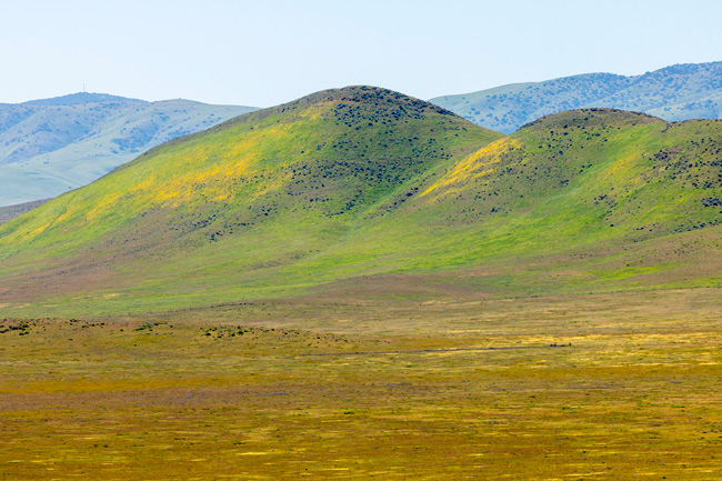
It was still early, so we backtracked a bit and drove to the Norris Geyser Basin. On the way we stopped a few times for views.

Norris is one of the hottest and most active of all the thermal areas in Yellowstone. There are boardwalk trails all through the basin. We chose the Porcelain Basin walk – the shorter of the main loops.

The trail starts higher on the rim of the basin allowing for a nice overview, then drops down into the burbling, sputtering of the many fumaroles, mud pots and steam vents.

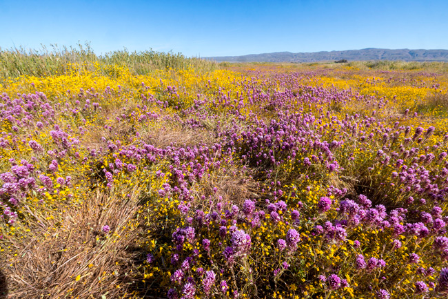
Along one edge, we detoured along an overly full lake full of jade colored water. Then it was back into the basin for a closer look at the pools and geysers.


The different colors are caused by microphiles and thermophiles – tiny organisms that respond to different temperatures of the water.


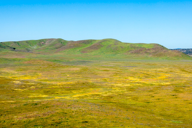
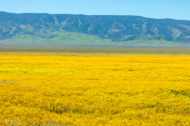
After finishing the walk, we headed back to camp, while stopping occasionally for pictures.


Just before we made it back to camp, we hit our first major Bison Jam of the trip. It wouldn’t be the last. They really love sauntering down the highway. Even one can cause a long delay.

It this case, there were more than a dozen, mostly in our lane. We quickly discovered what Bison speed is. Slowwwwwww. Occasionally they would move over to the other side and block oncoming traffic, and a few cars from our side could slide by.


I think there is a tendency to want to try to herd them like cows with one’s car, but they are only slow when they want to be, and if you’ve ever seen one kick or run or mount a mate, you will realize they could do the same to your car or you! It was about 40 minutes before we could get by. What you don’t want to see is one of these furry guys rearing back to take a look at you.

We were home just a few minutes after getting past. Resting up for another day out tomorrow while the weather holds.